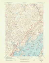
1957 Map of Freeport
USGS Topo · Published 1961About this map
The Androscoggin River carves the northern boundary of this coastal Maine landscape, where the agricultural interior meets the complex inlets of Casco Bay. At Shiloh, the prominent religious community is visible near the river, while inland villages like Durham Southwest Bend and Pownal Center anchor a network of country roads and family cemeteries including Maplewood Cem and Sylvester Cem. The era's transportation is defined by the Maine Central Railroad and the newly established Maine Turnpike, which began to alter the accessibility of these traditional rural townships.
Find a feature on this map
191 named features on this map. Tap any name to fly to it.
Don’t see what you’re looking for? This feature index may not catch every label — zoom into the map to look around manually.
Map Details
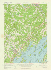
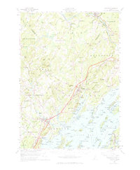
Editions of this 1957 Freeport Map
3 editions found
Other maps of this area

1891 · Portland
USGS Topo · 1:62,500

1892 · Gardiner
USGS Topo · 1:62,500

1892 · Freeport
USGS Topo · 1:62,500

1893 · Small Point
USGS Topo · 1:62,500

1893 · Portland
USGS Topo · 1:62,500

1893 · Casco Bay
USGS Topo · 1:62,500

1894 · Gray
USGS Topo · 1:62,500

1894 · Bath
USGS Topo · 1:62,500

1898 · Gray
USGS Topo · 1:62,500

1908 · Poland
USGS Topo · 1:62,500