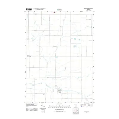
2011 Map of Freeport
USGS Topo · Published 2011About this map
The Coldwater River winds through the southern portion of this region, anchoring the village of Freeport where the Freeport Post Office and Freeport Cemetery are located. This landscape is defined by its agricultural grid and a series of small, glacial kettle lakes, including Church Lake, Hess Lake, and the distinctly named Lake Number Ten. The terrain is drained by several waterways such as Pratt Lake Creek, Bear Creek, and Duck Creek, which flow through sections of Kent and Barry counties.
Find a feature on this map
72 named features on this map. Tap any name to fly to it.
Don’t see what you’re looking for? This feature index may not catch every label — zoom into the map to look around manually.
Map Details
Editions of this 2011 Freeport Map
This is the sole edition of this map. No revisions or reprints were ever made.
Other maps of this area

1916 · Ionia
USGS Topo · 1:62,500

1918 · Ionia
USGS Topo · 1:62,500

1918 · Lowell
USGS Topo · 1:62,500

1943 · Ionia
USGS Topo · 1:62,500

1943 · Lowell
USGS Topo · 1:62,500

1950 · Nashville
USGS Topo · 1:62,500

1951 · Nashville
USGS Topo · 1:62,500

1951 · Hastings
USGS Topo · 1:62,500

1958 · Grand Rapids
USGS Topo · 1:250,000

1961 · Grand Rapids
USGS Topo · 1:250,000