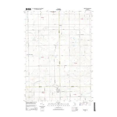
2014 Map of Freeport
USGS Topo · Published 2014About this map
Freeport sits at the junction of Kent, Ionia, and Barry Counties, anchoring a landscape defined by its agricultural grid and complex drainage network. The Coldwater River winds through the southern portion of the quadrangle, joined by numerous named tributaries including Stecklee Drain, Bullhead Drain, and Geiger Drain. This dense network of drains and creeks, such as Bear Cr and Duck Cr, highlights the intensive water management required for the region's productive farmland.
Find a feature on this map
92 named features on this map. Tap any name to fly to it.
Don’t see what you’re looking for? This feature index may not catch every label — zoom into the map to look around manually.
Map Details
Editions of this 2014 Freeport Map
This is the sole edition of this map. No revisions or reprints were ever made.
Other maps of this area

1916 · Ionia
USGS Topo · 1:62,500

1918 · Ionia
USGS Topo · 1:62,500

1918 · Lowell
USGS Topo · 1:62,500

1943 · Ionia
USGS Topo · 1:62,500

1943 · Lowell
USGS Topo · 1:62,500

1950 · Nashville
USGS Topo · 1:62,500

1951 · Nashville
USGS Topo · 1:62,500

1951 · Hastings
USGS Topo · 1:62,500

1958 · Grand Rapids
USGS Topo · 1:250,000

1961 · Grand Rapids
USGS Topo · 1:250,000