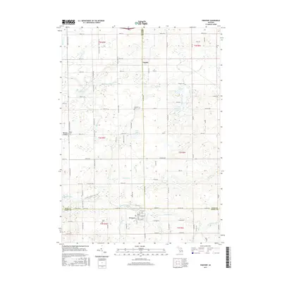
2017 Map of Freeport
USGS Topo · Published 2017About this map
The Coldwater River winds through this landscape at the intersection of Kent, Ionia, and Barry counties, anchoring a region defined by scattered agricultural settlements and small lakes. In the village of Freeport, the local layout includes the Freeport Cem and several community streets, while further north, the hamlet of Elmdale and the crossroads of Bowne Center serve as secondary focal points for local history researchers. The presence of the Mennonite Cem and Fuller Cem provide significant genealogical markers for those tracing early families in the area.
Find a feature on this map
97 named features on this map. Tap any name to fly to it.
Don’t see what you’re looking for? This feature index may not catch every label — zoom into the map to look around manually.
Map Details
Editions of this 2017 Freeport Map
This is the sole edition of this map. No revisions or reprints were ever made.
Other maps of this area

1916 · Ionia
USGS Topo · 1:62,500

1918 · Ionia
USGS Topo · 1:62,500

1918 · Lowell
USGS Topo · 1:62,500

1943 · Ionia
USGS Topo · 1:62,500

1943 · Lowell
USGS Topo · 1:62,500

1950 · Nashville
USGS Topo · 1:62,500

1951 · Nashville
USGS Topo · 1:62,500

1951 · Hastings
USGS Topo · 1:62,500

1958 · Grand Rapids
USGS Topo · 1:250,000

1961 · Grand Rapids
USGS Topo · 1:250,000