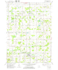
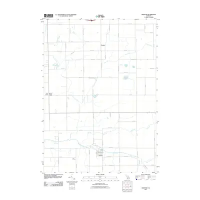
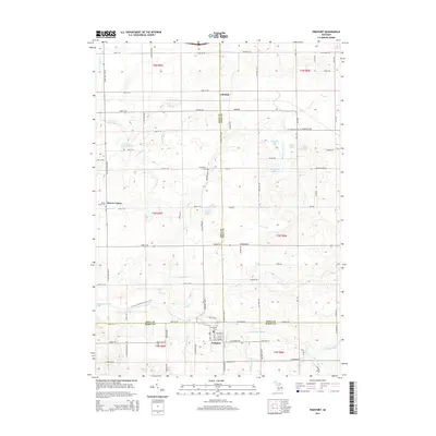
1978 Map of Freeport
USGS Topo · Published 1979About this map
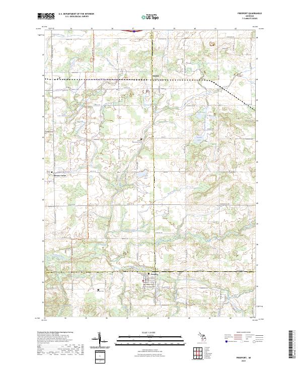
The Coldwater River and its network of tributaries, including Duck Creek and Messer Brook, shape this agricultural landscape where Kent, Ionia, and Barry counties meet. Freeport serves as a primary local center, situated south of the river and a Water Tank landmark, while the Chesapeake and Ohio railroad corridor passes through Elmdale further north. The map documents a rural society anchored by several houses of worship, such as Apostolic Christian Ch and Hope Ch, and small crossroads settlements like Bowne Center.
Find a feature on this map
49 named features on this map. Tap any name to fly to it.
Don’t see what you’re looking for? This feature index may not catch every label — zoom into the map to look around manually.
Map Details
Editions of this 1978 Freeport Map
This is the sole edition of this map. No revisions or reprints were ever made.
Historical Maps of Lowell Charter Township Through Time
6 maps found
Featured Locations
- Lowell Charter Township, MI
- Bowne Township, MI
- Irving Township, MI
- Freeport, Irving Township
- Bowne Center, Bowne Township