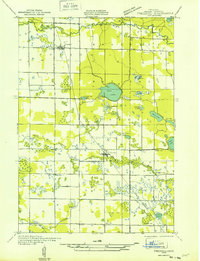
1931 Map of Freesoil SW
USGS Topo · Published 1931About this map
Small settlements and rural schoolhouses anchor this Depression-era landscape in northern Michigan, where the village of Freesoil and the town of Fountain serve as primary hubs along the Pere Marquette railroad. The terrain is defined by a dense network of glacial water bodies, from the prominent Gun Lake and Blue Lake to the meandering course of the Big Sable River and the various forks of the Lincoln River.
Find a feature on this map
31 named features on this map. Tap any name to fly to it.
Don’t see what you’re looking for? This feature index may not catch every label — zoom into the map to look around manually.
Map Details
Editions of this 1931 Freesoil SW Map
This is the sole edition of this map. No revisions or reprints were ever made.
Other maps of this area
1931 · Custer NW
USGS Topo · 1:31,680
1931 · Custer NE
USGS Topo · 1:31,680
1931 · Manistee SE
USGS Topo · 1:31,680
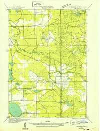
1932 · Freesoil SE
USGS Topo · 1:31,680
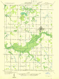
1932 · Ludington NE
USGS Topo · 1:31,680

1954 · Milwaukee
USGS Topo · 1:250,000

1954 · Manitowoc
USGS Topo · 1:250,000
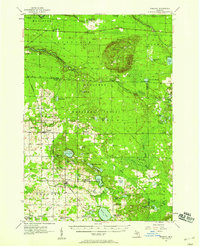
1957 · Freesoil
USGS Topo · 1:62,500

1958 · Manitowoc
USGS Topo · 1:250,000

1958 · Milwaukee
USGS Topo · 1:250,000