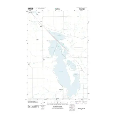
2011 Map of Freezeout Lake
USGS Topo · Published 2011About this map
Freezeout Lake dominates this Teton County landscape, where an intricate system of managed water bodies and irrigation infrastructure defines the local geography. The map reveals the functional organization of the wetlands, identifying Pond Number One through Pond Number Six, which work in tandem with the Cascade Canal and the North Supply Ditch to move water through this arid region. The high ground is marked by prominent landmarks like Priest Butte in the northwest and Moehler Hill to the south.
Find a feature on this map
35 named features on this map. Tap any name to fly to it.
Don’t see what you’re looking for? This feature index may not catch every label — zoom into the map to look around manually.
Map Details
Editions of this 2011 Freezeout Lake Map
This is the sole edition of this map. No revisions or reprints were ever made.
Other maps of this area

1886 · Great Falls
USGS Topo · 1:250,000

1920 · Choteau
USGS Topo · 1:125,000

1950 · Fairfield
USGS Topo · 1:62,500

1950 · Collins
USGS Topo · 1:62,500

1954 · Great Falls
USGS Topo · 1:250,000

1955 · Choteau
USGS Topo · 1:250,000

1957 · Choteau
USGS Topo · 1:250,000

1957 · Great Falls
USGS Topo · 1:250,000

1958 · Choteau
USGS Topo · 1:250,000

1960 · Choteau
USGS Topo · 1:62,500