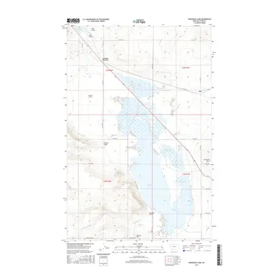
2017 Map of Freezeout Lake
USGS Topo · Published 2017About this map
Freezeout Lake and its surrounding wetlands dominate this Teton County landscape, where an intricate system of water management is visible through features like the N Supply Ditch and a numbered series of ponds ranging from Pond Number One to Pond Number Six. The topography is defined by numerous drainage features, including Wolf Coulee, Crossen Coulee, and Floweree Coulee, which carve through the plains near Moehler Hill.
Find a feature on this map
32 named features on this map. Tap any name to fly to it.
Don’t see what you’re looking for? This feature index may not catch every label — zoom into the map to look around manually.
Map Details
Editions of this 2017 Freezeout Lake Map
This is the sole edition of this map. No revisions or reprints were ever made.
Other maps of this area

1886 · Great Falls
USGS Topo · 1:250,000

1920 · Choteau
USGS Topo · 1:125,000

1950 · Fairfield
USGS Topo · 1:62,500

1950 · Collins
USGS Topo · 1:62,500

1954 · Great Falls
USGS Topo · 1:250,000

1955 · Choteau
USGS Topo · 1:250,000

1957 · Choteau
USGS Topo · 1:250,000

1957 · Great Falls
USGS Topo · 1:250,000

1958 · Choteau
USGS Topo · 1:250,000

1960 · Choteau
USGS Topo · 1:62,500