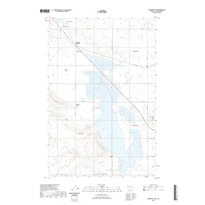
2020 Map of Freezeout Lake
USGS Topo · Published 2020About this map
Freezeout Lake dominates this Teton County landscape, surrounded by a complex system of managed waterways and artificial ponds including Pond Number One, Pond Number Five, and the N Supply Ditch. The geography is defined by a series of drainage features like Crossen Coulee and Wolf Coulee that cut through the high plains. The small settlement of Bole and the crossing at Eastham Junction serve as the primary human touchpoints in this agricultural and wetland region. To the east, the rising terrain of Greenfields Bench marks a distinct elevation change, while Moehler Hill and Dipping Tank Cr provide further landmarks for local history researchers and genealogists tracing family land holdings near the early 21st-century road grid of Spring Valley Rd and numbered rural lanes.
Find a feature on this map
30 named features on this map. Tap any name to fly to it.
Don’t see what you’re looking for? This feature index may not catch every label — zoom into the map to look around manually.
Map Details
Editions of this 2020 Freezeout Lake Map
This is the sole edition of this map. No revisions or reprints were ever made.
Other maps of this area

1886 · Great Falls
USGS Topo · 1:250,000

1920 · Choteau
USGS Topo · 1:125,000

1950 · Fairfield
USGS Topo · 1:62,500

1950 · Collins
USGS Topo · 1:62,500

1954 · Great Falls
USGS Topo · 1:250,000

1955 · Choteau
USGS Topo · 1:250,000

1957 · Choteau
USGS Topo · 1:250,000

1957 · Great Falls
USGS Topo · 1:250,000

1958 · Choteau
USGS Topo · 1:250,000

1960 · Choteau
USGS Topo · 1:62,500