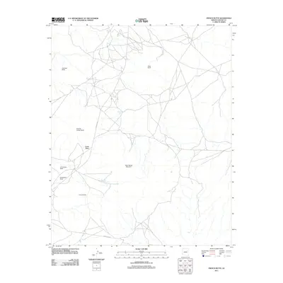
2011 Map of French Butte
USGS Topo · Published 2011About this map
French Butte and the surrounding high desert plateau dominate this 2011 survey, where the landscape is defined by its distinct volcanic and sedimentary formations. The terrain is marked by prominent landmarks such as Echo Spring Mountain and Castle Butte, which rise sharply from the basin floor. Local hydrography is characterized by seasonal water features like Tode Bahoz Tsiquiri and Toh Cathlie Cod, reflecting the arid environment of this region. Connectivity through this part of the Navajo Nation is maintained by the primary arteries of Indian Rte 60 and Indian Rte 9857, which navigate the complex topography between named heights like Chezhin Chotah Butte and Haystack Butte. This map provides a detailed view of the remote road network and traditional place names essential for navigating this high-elevation landscape.
Find a feature on this map
13 named features on this map. Tap any name to fly to it.
Don’t see what you’re looking for? This feature index may not catch every label — zoom into the map to look around manually.
Map Details
Editions of this 2011 French Butte Map
This is the sole edition of this map. No revisions or reprints were ever made.
Other maps of this area

1883 · Tusayan
USGS Topo · 1:250,000

1886 · Tusayan
USGS Topo · 1:250,000

1947 · Flagstaff
USGS Topo · 1:250,000

1954 · Flagstaff
USGS Topo · 1:250,000

1958 · Flagstaff
USGS Topo · 1:250,000

1960 · Flagstaff
USGS Topo · 1:250,000

1962 · Flagstaff
USGS Topo · 1:250,000
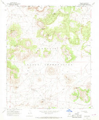
1967 · Dilkon
USGS Topo · 1:24,000
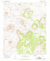
1967 · French Butte
USGS Topo · 1:24,000
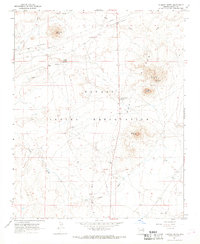
1967 · Chimney Butte
USGS Topo · 1:24,000