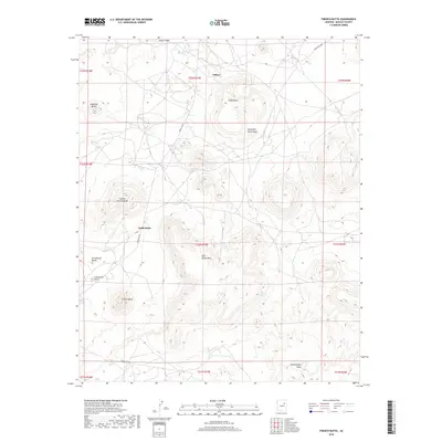
2018 Map of French Butte
USGS Topo · Published 2018About this map
Dilkon serves as the primary hub in this corner of the Navajo Nation, where the high desert is defined by a series of prominent volcanic landforms and mesas. To the south and west, a cluster of distinctively named heights including French Butte, Castle Butte, and Cockscomb Butte rise sharply from the surrounding flats. The drainage system is equally prominent, with Coyote Wash and Sunflower Butte Wash carving paths through the arid landscape toward Echo Spring Mtn. This U.S. Geological Survey representation reveals a network of essential routes like Indian Rte 60 and Indian Rte 9857 that connect isolated water sources such as Echo Spring and Tode Baha Tsiquith. The land is meticulously partitioned by the Public Land Survey System, showing the township and range lines that govern this high-plateau geography.
Find a feature on this map
27 named features on this map. Tap any name to fly to it.
Don’t see what you’re looking for? This feature index may not catch every label — zoom into the map to look around manually.
Map Details
Editions of this 2018 French Butte Map
This is the sole edition of this map. No revisions or reprints were ever made.
Other maps of this area

1883 · Tusayan
USGS Topo · 1:250,000

1886 · Tusayan
USGS Topo · 1:250,000

1947 · Flagstaff
USGS Topo · 1:250,000

1954 · Flagstaff
USGS Topo · 1:250,000

1958 · Flagstaff
USGS Topo · 1:250,000

1960 · Flagstaff
USGS Topo · 1:250,000

1962 · Flagstaff
USGS Topo · 1:250,000
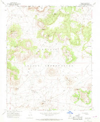
1967 · Dilkon
USGS Topo · 1:24,000
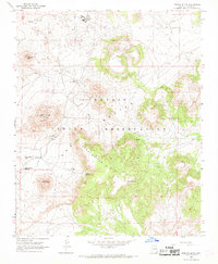
1967 · French Butte
USGS Topo · 1:24,000
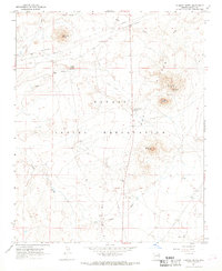
1967 · Chimney Butte
USGS Topo · 1:24,000