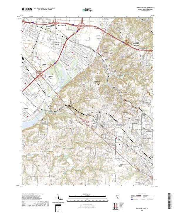
2024 Map of French Village
USGS Topo · Published 2024About this map
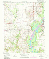
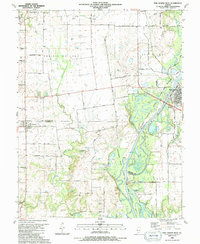
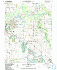
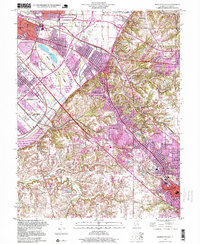
The American Bottoms flood plain meets the rising bluffs of the Illinoian till plain on this map, documenting a complex landscape of drainage and development. Water management is a primary theme, seen through the Harding Ditch, Canal Number 1, and the significant expanse of Grand Marais Lake. These features reflect long-standing efforts to reclaim the bottomlands for urban and industrial use near East St. Louis and Cahokia Heights.
Find a feature on this map
68 named features on this map. Tap any name to fly to it.
Don’t see what you’re looking for? This feature index may not catch every label — zoom into the map to look around manually.
Map Details
Editions of this 2024 French Village Map
This is the sole edition of this map. No revisions or reprints were ever made.
Historical Maps of Cahokia Through Time
11 maps found

1931 French Village
St. Clair County, IL
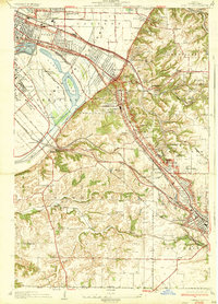
1935 French Village
St. Clair County, IL
1954 French Village
St. Clair County, IL
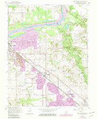
1954 New Athens East
St. Clair County, IL
1954 New Athens West
St. Clair County, IL
1990 New Athens West
St. Clair County, IL
1991 New Athens East
St. Clair County, IL
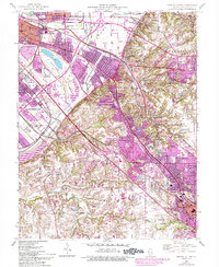
1998 French Village
St. Clair County, IL
2024 French Village
St. Clair County, IL
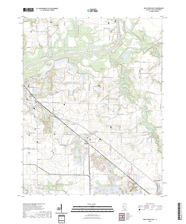
2024 New Athens East
St. Clair County, IL
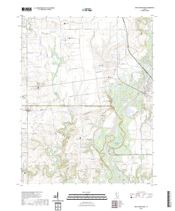
2024 New Athens West
St. Clair County, IL