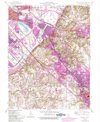
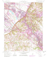
1954 Map of French Village
USGS Topo · Published 1993About this map
The urban sprawl of the Metro East region is captured during a period of significant post-war expansion, anchored by the industrial and residential centers of East St Louis and Belleville. The map illustrates the complex transportation network of the era, including the Southern Railway and the Illinois Central Gulf Railroad, which serviced the heavy industrial corridor. High-density residential pockets like Washington Park and Centreville are shown alongside evolving developments such as Fairview Heights and the distinctive track at Cahokia Downs.
Find a feature on this map
54 named features on this map. Tap any name to fly to it.
Don’t see what you’re looking for? This feature index may not catch every label — zoom into the map to look around manually.
Map Details
Editions of this 1954 French Village Map
5 editions found
Other maps of this area

1888 · St. Louis
USGS Topo · 1:62,500

1907 · Belleville
USGS Topo · 1:62,500

1910 · Waterloo
USGS Topo · 1:62,500

1912 · New Athens
USGS Topo · 1:62,500

1913 · Waterloo
USGS Topo · 1:62,500

1931 · French Village
USGS Topo · 1:24,000

1933 · Granite City
USGS Topo · 1:24,000

1933 · Cahokia
USGS Topo · 1:24,000

1934 · Cahokia
USGS Topo · 1:24,000

1935 · French Village
USGS Topo · 1:24,000