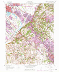
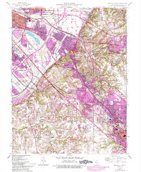
1954 Map of French Village
USGS Topo · Published 1975About this map
St. Clair County industrial and suburban growth defines this mid-century landscape, where the dense rail networks of East St. Louis meet the rising residential corridors of Centreville and Belleville. The map documents a complex infrastructure of seven major railroads, including the Southern and Louisville and Nashville, which served the region's manufacturing and mining interests. Beyond the urban grid, the topography rises toward Signal Hill and the distinctive Clarks Mound, providing a stark contrast to the low-lying terrain around Frank Holten State Park and the engineered water management of Harding Ditch. This 1954 edition, updated with 1970s photorevisions, reveals the expansion of postwar settlements like Royal Heights and Swansea. Local history is preserved through the placement of institutions such as St. Henry Seminary, Wright Chapel, and the Shale Mine, reflecting the community's spiritual and industrial foundations.
Find a feature on this map
72 named features on this map. Tap any name to fly to it.
Don’t see what you’re looking for? This feature index may not catch every label — zoom into the map to look around manually.
Map Details
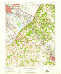
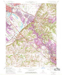
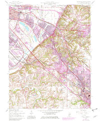
Editions of this 1954 French Village Map
5 editions found
Other maps of this area

1888 · St. Louis
USGS Topo · 1:62,500

1907 · Belleville
USGS Topo · 1:62,500

1910 · Waterloo
USGS Topo · 1:62,500

1912 · New Athens
USGS Topo · 1:62,500

1913 · Waterloo
USGS Topo · 1:62,500

1931 · French Village
USGS Topo · 1:24,000

1933 · Granite City
USGS Topo · 1:24,000

1933 · Cahokia
USGS Topo · 1:24,000

1934 · Cahokia
USGS Topo · 1:24,000

1935 · French Village
USGS Topo · 1:24,000