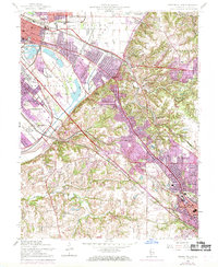
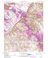
1954 Map of French Village
USGS Topo · Published 1969About this map
Industrial expansion and suburban growth define the landscape of St. Clair County as it appeared in the mid-20th century. The complex rail infrastructure serves as the region's backbone, with the Alton and Southern Railroad and Louisville and Nashville Railroad cutting through the expanding residential corridors of French Village and Edgemont. Purple revisions from 1968 illustrate the rapid post-war urbanization extending from East St Louis toward the bluffs. Recreational and educational landmarks are prominent, including the sprawling Frank Holten State Park and Cahokia Downs racetrack. Local history is preserved in the detailed mapping of neighborhood institutions like Wrights Chapel, St Philip Sch, and the St Clair Memorial Park Cemetery. From the dense blocks of Centreville to the rural Flying Dutchmen Landing Strip near Prairie Creek, the map documents a transition from a rail-dependent industrial hub to a modern metropolitan suburb.
Find a feature on this map
65 named features on this map. Tap any name to fly to it.
Don’t see what you’re looking for? This feature index may not catch every label — zoom into the map to look around manually.
Map Details
Editions of this 1954 French Village Map
5 editions found
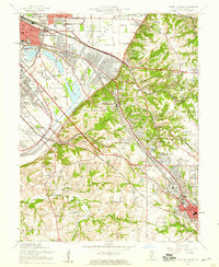
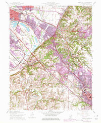
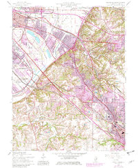
Other maps of this area

1888 · St. Louis
USGS Topo · 1:62,500

1907 · Belleville
USGS Topo · 1:62,500

1910 · Waterloo
USGS Topo · 1:62,500

1912 · New Athens
USGS Topo · 1:62,500

1913 · Waterloo
USGS Topo · 1:62,500

1931 · French Village
USGS Topo · 1:24,000

1933 · Granite City
USGS Topo · 1:24,000

1933 · Cahokia
USGS Topo · 1:24,000

1934 · Cahokia
USGS Topo · 1:24,000

1935 · French Village
USGS Topo · 1:24,000