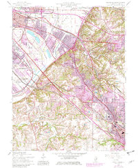
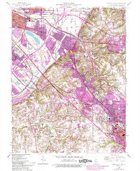
1954 Map of French Village
USGS Topo · Published 1982About this map
Frank Holten State Park and the sprawling rail yards of East St. Louis dominate this industrial and residential landscape of St. Clair County. The map captures a moment of intense suburban expansion and heavy transit, where the Alton and Southern and Conrail lines weave through established neighborhoods and newer developments like Fairview Heights. The geography is defined by a sharp transition from the flatlands of the American Bottoms to the rising bluffs at Signal Hill.
Find a feature on this map
52 named features on this map. Tap any name to fly to it.
Don’t see what you’re looking for? This feature index may not catch every label — zoom into the map to look around manually.
Map Details
Editions of this 1954 French Village Map
5 editions found
Other maps of this area

1888 · St. Louis
USGS Topo · 1:62,500

1907 · Belleville
USGS Topo · 1:62,500

1910 · Waterloo
USGS Topo · 1:62,500

1912 · New Athens
USGS Topo · 1:62,500

1913 · Waterloo
USGS Topo · 1:62,500

1931 · French Village
USGS Topo · 1:24,000

1933 · Granite City
USGS Topo · 1:24,000

1933 · Cahokia
USGS Topo · 1:24,000

1934 · Cahokia
USGS Topo · 1:24,000

1935 · French Village
USGS Topo · 1:24,000