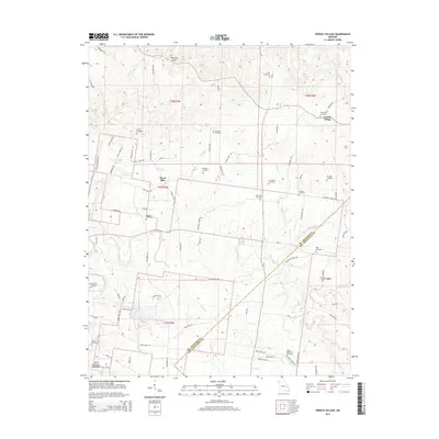
2015 Map of French Village
USGS Topo · Published 2015About this map
French Village sits at the edge of the Saint Francois Mountains in this survey of eastern Missouri, where the landscape is defined by its numerous small family and community burial grounds. The map captures a high density of rural cemeteries, including Saint Anne Cemetery, Mostiller Cemetery, and the Kerlagon Cemetery, which serve as vital markers of early settlement patterns and genealogical history in the region.
Find a feature on this map
90 named features on this map. Tap any name to fly to it.
Don’t see what you’re looking for? This feature index may not catch every label — zoom into the map to look around manually.
Map Details
Editions of this 2015 French Village Map
This is the sole edition of this map. No revisions or reprints were ever made.
Other maps of this area

1901 · De Soto
USGS Topo · 1:125,000

1904 · Farmington
USGS Topo · 1:62,500

1905 · Bonneterre
USGS Topo · 1:62,500

1906 · Farmington
USGS Topo · 1:62,500

1915 · Crystal City
USGS Topo · 1:62,500

1931 · De Soto SE
USGS Topo · 1:24,000

1949 · Saint Louis
USGS Topo · 1:250,000

1949 · Rolla
USGS Topo · 1:250,000

1949 · Crystal City
USGS Topo · 1:62,500

1953 · Rolla
USGS Topo · 1:250,000