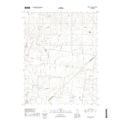
2017 Map of French Village
USGS Topo · Published 2017About this map
The Saint Francois Mountains and Pike Run Hills dominate this portion of eastern Missouri, where the rugged topography of the Ozark Plateau meets the river drainages of Big River and Terre Bleue Creek. The landscape is a network of small watercourses like Jacobs Cr and Salem Cr, which shaped the early settlement patterns of the region. This survey captures a rural environment defined by small hamlets and numerous family and community burial grounds, illustrating the deep ancestral roots in the area.
Find a feature on this map
108 named features on this map. Tap any name to fly to it.
Don’t see what you’re looking for? This feature index may not catch every label — zoom into the map to look around manually.
Map Details
Editions of this 2017 French Village Map
This is the sole edition of this map. No revisions or reprints were ever made.
Other maps of this area

1901 · De Soto
USGS Topo · 1:125,000

1904 · Farmington
USGS Topo · 1:62,500

1905 · Bonneterre
USGS Topo · 1:62,500

1906 · Farmington
USGS Topo · 1:62,500

1915 · Crystal City
USGS Topo · 1:62,500

1931 · De Soto SE
USGS Topo · 1:24,000

1949 · Saint Louis
USGS Topo · 1:250,000

1949 · Rolla
USGS Topo · 1:250,000

1949 · Crystal City
USGS Topo · 1:62,500

1953 · Rolla
USGS Topo · 1:250,000