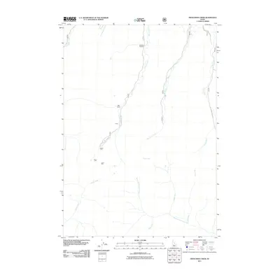
2011 Map of Frenchman Creek
USGS Topo · Published 2011About this map
Vienna serves as the central focal point of this high-elevation Idaho survey, situated along the upper reaches of Smiley Creek. The landscape is defined by its industrial heritage, with the Webfoot Mine, Solace Mine, and Vienna Mine dotting the terrain west of Smiley Creek Rd. These mining sites, tucked into the surrounding gulches and canyons, point to the area's history of mineral extraction near the headwaters of the Salmon River.
Find a feature on this map
18 named features on this map. Tap any name to fly to it.
Don’t see what you’re looking for? This feature index may not catch every label — zoom into the map to look around manually.
Map Details
Editions of this 2011 Frenchman Creek Map
This is the sole edition of this map. No revisions or reprints were ever made.
Other maps of this area

1900 · Sawtooth
USGS Topo · 1:125,000

1955 · Hailey
USGS Topo · 1:250,000

1959 · Hailey
USGS Topo · 1:250,000

1962 · Hailey
USGS Topo · 1:250,000

1963 · Alturas Lake
USGS Topo · 1:24,000

1964 · Frenchman Creek
USGS Topo · 1:24,000
1964 · Snowyside Peak
USGS Topo · 1:24,000

1964 · Marshall Peak
USGS Topo · 1:24,000
1970 · Horton Peak
USGS Topo · 1:24,000

1970 · Paradise Peak
USGS Topo · 1:24,000