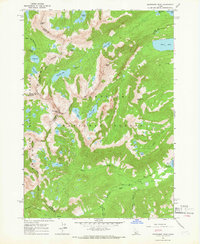
1964 Map of Snowyside Peak
USGS Topo · Published 1966About this map
Sawtooth National Forest dominates this mid-1960s landscape, where five central Idaho counties—Blaine, Boise, Custer, Elmore, and Alturas—converge at high-altitude divides. The area is defined by a dense concentration of glacial basins, including Toxaway Lake, Alice Lake, and Pettit Lake, which feed the drainages of the South Fork Payette River and Alturas Lake Creek. While primarily a wilderness of granite summits like Snowyside Peak and Payette Peak, human activity is centered on the Alturas Inlet Campground and a scattered network of trails. A solitary prospect near Eureka Gulch and a mapped jeep trail reflect the region's history of small-scale mineral exploration and early recreational access. The map captures a moment before modern wilderness designations further restricted mechanized travel through these headwaters.
Find a feature on this map
37 named features on this map. Tap any name to fly to it.
Don’t see what you’re looking for? This feature index may not catch every label — zoom into the map to look around manually.
Map Details
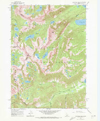
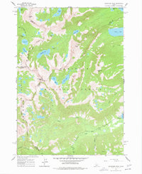
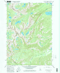
Editions of this 1964 Snowyside Peak Map
4 editions found
Other maps of this area

1891 · Bear Valley
USGS Topo · 1:125,000

1893 · Bear Valley
USGS Topo · 1:125,000

1894 · Rocky Bar
USGS Topo · 1:125,000

1900 · Sawtooth
USGS Topo · 1:125,000

1919 · Custer
USGS Topo · 1:125,000

1922 · Custer
USGS Topo · 1:125,000

1955 · Hailey
USGS Topo · 1:250,000

1957 · Challis
USGS Topo · 1:250,000

1959 · Hailey
USGS Topo · 1:250,000

1960 · Challis
USGS Topo · 1:250,000