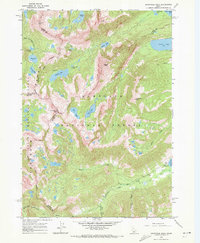
1964 Map of Snowyside Peak
USGS Topo · Published 1972About this map
Sawtooth National Forest dominates this landscape, showing a high-altitude wilderness at the intersection of Boise, Custer, Elmore, and Blaine counties during the mid-1960s. The map illustrates a concentration of alpine water bodies, including the prominent Alice Lake, Toxaway Lake, and Pettit Lake, which serve as headwaters for regional drainages like the South Fork Payette River. The presence of a Jeep Trail and the Alturas Inlet Campground near Alturas Lake indicates the area's established role in backcountry recreation and forest management.
Find a feature on this map
36 named features on this map. Tap any name to fly to it.
Don’t see what you’re looking for? This feature index may not catch every label — zoom into the map to look around manually.
Map Details
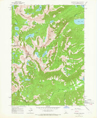
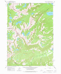
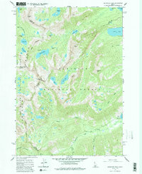
Editions of this 1964 Snowyside Peak Map
4 editions found
Other maps of this area

1891 · Bear Valley
USGS Topo · 1:125,000

1893 · Bear Valley
USGS Topo · 1:125,000

1894 · Rocky Bar
USGS Topo · 1:125,000

1900 · Sawtooth
USGS Topo · 1:125,000

1919 · Custer
USGS Topo · 1:125,000

1922 · Custer
USGS Topo · 1:125,000

1955 · Hailey
USGS Topo · 1:250,000

1957 · Challis
USGS Topo · 1:250,000

1959 · Hailey
USGS Topo · 1:250,000

1960 · Challis
USGS Topo · 1:250,000