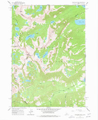
1964 Map of Snowyside Peak
USGS Topo · Published 1977About this map
Snowyside Peak dominates this high-altitude section of the Sawtooth National Forest, serving as a convergence point for the borders of Custer, Blaine, Elmore, and Boise counties. The landscape is defined by an intricate network of alpine basins and glacial lakes, including Alice Lake, Toxaway Lake, and the large Pettit Lake on the eastern edge. This 1964 field-checked survey documents a period of early backcountry recreation, evidenced by the Alturas Inlet Campground and several designated campgrounds near the lake shores.
Find a feature on this map
40 named features on this map. Tap any name to fly to it.
Don’t see what you’re looking for? This feature index may not catch every label — zoom into the map to look around manually.
Map Details
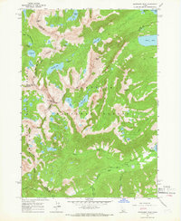
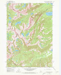
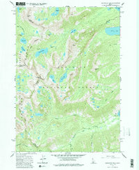
Editions of this 1964 Snowyside Peak Map
4 editions found
Other maps of this area

1891 · Bear Valley
USGS Topo · 1:125,000

1893 · Bear Valley
USGS Topo · 1:125,000

1894 · Rocky Bar
USGS Topo · 1:125,000

1900 · Sawtooth
USGS Topo · 1:125,000

1919 · Custer
USGS Topo · 1:125,000

1922 · Custer
USGS Topo · 1:125,000

1955 · Hailey
USGS Topo · 1:250,000

1957 · Challis
USGS Topo · 1:250,000

1959 · Hailey
USGS Topo · 1:250,000

1960 · Challis
USGS Topo · 1:250,000