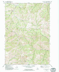
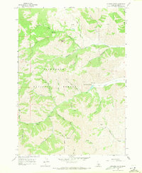
1970 Map of Buttercup Mtn
USGS Topo · Published 1994About this map
Sawtooth National Forest dominates this 1970 study of the high Idaho backcountry, where the peaks of the Sawtooth Mountains meet the timber and mining claims of Blaine and Camas counties. The map documents an era of active resource extraction and emerging recreation, specifically highlighting the Buttercup Mine and various Mines and Prospects scattered near Buttercup Mtn.
Find a feature on this map
47 named features on this map. Tap any name to fly to it.
Don’t see what you’re looking for? This feature index may not catch every label — zoom into the map to look around manually.
Map Details
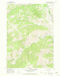
Editions of this 1970 Buttercup Mtn Map
2 editions found
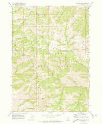
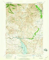
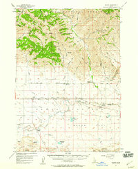
Other maps of this area

1895 · Hailey
USGS Topo · 1:125,000

1897 · Hailey
USGS Topo · 1:125,000

1900 · Sawtooth
USGS Topo · 1:125,000

1955 · Hailey
USGS Topo · 1:250,000
1957 · Bellevue
USGS Topo · 1:62,500
1957 · Blaine
USGS Topo · 1:62,500

1959 · Hailey
USGS Topo · 1:250,000

1962 · Hailey
USGS Topo · 1:250,000
1967 · Mahoney Butte
USGS Topo · 1:24,000
1967 · Griffin Butte
USGS Topo · 1:24,000