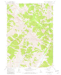
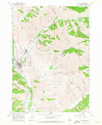
1967 Map of Rock Roll Canyon
USGS Topo · Published 1982About this map
The Boulder Mountains dominate this high-altitude landscape along the border of the Sawtooth National Forest and Challis National Forest. Situated north of Sun Valley in the late 1960s, this area is defined by a dense network of drainage systems, including Big Wood River, Lake Creek, and the namesake Rock Roll Canyon. Evidence of early mineral exploration is scattered across the slopes, noted by several prospects and a mine located near the headwaters of Lake Creek.
Find a feature on this map
36 named features on this map. Tap any name to fly to it.
Don’t see what you’re looking for? This feature index may not catch every label — zoom into the map to look around manually.
Map Details
Editions of this 1967 Rock Roll Canyon Map
2 editions found
Other maps of this area

1895 · Hailey
USGS Topo · 1:125,000

1897 · Hailey
USGS Topo · 1:125,000

1955 · Hailey
USGS Topo · 1:250,000

1959 · Hailey
USGS Topo · 1:250,000

1962 · Hailey
USGS Topo · 1:250,000
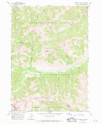
1967 · Meridian Peak
USGS Topo · 1:24,000
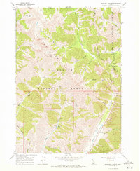
1967 · Rock Roll Canyon
USGS Topo · 1:24,000
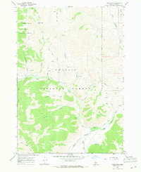
1967 · Herd Peak
USGS Topo · 1:24,000
1967 · Sun Valley
USGS Topo · 1:24,000
1967 · Hyndman Peak
USGS Topo · 1:24,000