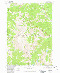
1970 Map of Galena
USGS Topo · Published 1982About this map
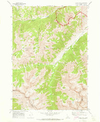
The Smoky Mountains dominate this 1970 study of the high-elevation divide between Blaine and Camas counties. The small settlement of Galena sits near the headwaters of the Big Wood River, serving as a gateway to the steep alpine terrain of the Sawtooth National Recreation Area. A network of pack trails and jeep tracks provides access to the backcountry, leading to remote high-country water bodies like Titus Lake, Norton Lakes, and Prairie Lakes.
Find a feature on this map
34 named features on this map. Tap any name to fly to it.
Don’t see what you’re looking for? This feature index may not catch every label — zoom into the map to look around manually.
Map Details
Editions of this 1970 Galena Map
3 editions found
Other maps of this area

1900 · Sawtooth
USGS Topo · 1:125,000

1955 · Hailey
USGS Topo · 1:250,000

1959 · Hailey
USGS Topo · 1:250,000

1962 · Hailey
USGS Topo · 1:250,000

1963 · Alturas Lake
USGS Topo · 1:24,000

1964 · Frenchman Creek
USGS Topo · 1:24,000
1970 · Horton Peak
USGS Topo · 1:24,000

1970 · Paradise Peak
USGS Topo · 1:24,000
1970 · Galena Peak
USGS Topo · 1:24,000
1970 · Easley Hot Springs
USGS Topo · 1:24,000