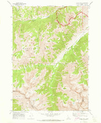
1970 Map of Galena Peak
USGS Topo · Published 1973About this map
Galena Peak dominates the southern landscape of this Idaho high-country survey, marking a significant point along the Custer Co Blaine Co boundary. The topography reflects the headwaters of a major watershed, where the Salmon River and its multiple branches, including the East Fork, West Fork, and South Fork, begin their descent through the Boulder Mountains. This wilderness area is largely contained within the Sawtooth National Forest and the Sawtooth National Recreation Area, showing a landscape defined by natural drainage and limited human footprint.
Find a feature on this map
23 named features on this map. Tap any name to fly to it.
Don’t see what you’re looking for? This feature index may not catch every label — zoom into the map to look around manually.
Map Details
Editions of this 1970 Galena Peak Map
2 editions found
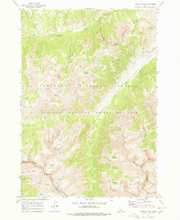
Other maps of this area

1895 · Hailey
USGS Topo · 1:125,000

1897 · Hailey
USGS Topo · 1:125,000

1900 · Sawtooth
USGS Topo · 1:125,000

1919 · Custer
USGS Topo · 1:125,000

1922 · Custer
USGS Topo · 1:125,000

1929 · Bayhorse
USGS Topo · 1:125,000

1955 · Hailey
USGS Topo · 1:250,000

1957 · Challis
USGS Topo · 1:250,000

1959 · Hailey
USGS Topo · 1:250,000

1960 · Challis
USGS Topo · 1:250,000