
1963 Map of Alturas Lake
USGS Topo · Published 1965About this map
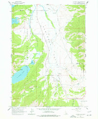
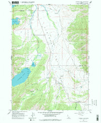
Sawtooth Valley defines this high-country landscape, where the headwaters of the Salmon River wind through the Sawtooth National Forest. This mid-1960s survey documents the area's transition from old mining roots to a hub for mountain recreation. Evidence of earlier settlement is found at Sawtooth City (Site) and the nearby Sawtooth Cem, remnants of the 19th-century silver rush. By this era, the valley had become a seasonal destination, centered around Smiley Creek Lodge and Lake Alturas Lodge. The map details a network of camps and landings, including Camp Luthy, Camp Perkins, and the Smiley Creek Landing Strip, supporting travel along the valley floor. Large alpine water bodies like Alturas Lake, Pettit Lake, and Yellow Belly Lake dominate the western edge of the quadrangle, serving as the primary landmarks for this stretch of the Custer and Blaine County line.
Find a feature on this map
34 named features on this map. Tap any name to fly to it.
Don’t see what you’re looking for? This feature index may not catch every label — zoom into the map to look around manually.
Map Details
Editions of this 1963 Alturas Lake Map
3 editions found
Other maps of this area

1900 · Sawtooth
USGS Topo · 1:125,000

1919 · Custer
USGS Topo · 1:125,000

1922 · Custer
USGS Topo · 1:125,000

1955 · Hailey
USGS Topo · 1:250,000

1957 · Challis
USGS Topo · 1:250,000

1959 · Hailey
USGS Topo · 1:250,000

1960 · Challis
USGS Topo · 1:250,000

1962 · Hailey
USGS Topo · 1:250,000

1963 · Challis
USGS Topo · 1:250,000

1963 · Mt Cramer
USGS Topo · 1:24,000