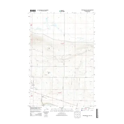
2014 Map of Frenchman Hills Lake
USGS Topo · Published 2014About this map
Royal City sits at the western edge of a landscape defined by the agricultural development of the Royal Slope. This 2014 survey documents the complex water management systems critical to this region of Washington, featuring the Frenchman Hills Wasteway which snakes through the northern terrain to feed Frenchman Hills Lake. The map reveals a transition from the structured grid of the valley floor to the prominent rising elevation of the Frenchman Hills.
Find a feature on this map
40 named features on this map. Tap any name to fly to it.
Don’t see what you’re looking for? This feature index may not catch every label — zoom into the map to look around manually.
Map Details
Editions of this 2014 Frenchman Hills Lake Map
This is the sole edition of this map. No revisions or reprints were ever made.
Other maps of this area

1910 · Winchester
USGS Topo · 1:62,500

1911 · Red Rock
USGS Topo · 1:62,500

1912 · Moses Lake
USGS Topo · 1:62,500

1923 · Corfu
USGS Topo · 1:62,500

1950 · Smyrna
USGS Topo · 1:62,500

1951 · Smyrna
USGS Topo · 1:62,500

1951 · Corfu
USGS Topo · 1:62,500

1953 · Walla Walla
USGS Topo · 1:250,000

1953 · Ritzville
USGS Topo · 1:250,000

1956 · Mae
USGS Topo · 1:24,000