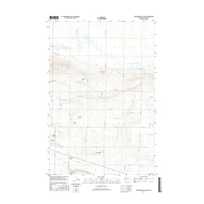
2017 Map of Frenchman Hills Lake
USGS Topo · Published 2017About this map
Royal City serves as the primary hub in this Columbia Basin landscape, situated just south of the rising terrain of the Frenchman Hills. The geography here is defined by significant irrigation infrastructure and natural landforms, including the Frenchman Hills Wasteway which drains toward Sand Lake. The map reveals a structured grid of rural roads, such as Dodson Rd S and F Rd SW, that navigate the elevation changes between the high ridge and the Royal Slope below. Local landmarks like Christensen Field and the distinct geological features of Red Rock Coulee and the Natural Corral provide specific points of interest for those tracing the history of land use and water management in this part of Grant County.
Find a feature on this map
41 named features on this map. Tap any name to fly to it.
Don’t see what you’re looking for? This feature index may not catch every label — zoom into the map to look around manually.
Map Details
Editions of this 2017 Frenchman Hills Lake Map
This is the sole edition of this map. No revisions or reprints were ever made.
Other maps of this area

1910 · Winchester
USGS Topo · 1:62,500

1911 · Red Rock
USGS Topo · 1:62,500

1912 · Moses Lake
USGS Topo · 1:62,500

1923 · Corfu
USGS Topo · 1:62,500

1950 · Smyrna
USGS Topo · 1:62,500

1951 · Smyrna
USGS Topo · 1:62,500

1951 · Corfu
USGS Topo · 1:62,500

1953 · Walla Walla
USGS Topo · 1:250,000

1953 · Ritzville
USGS Topo · 1:250,000

1956 · Mae
USGS Topo · 1:24,000