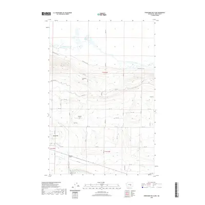
2020 Map of Frenchman Hills Lake
USGS Topo · Published 2020About this map
Royal City stands at the southwestern edge of a landscape defined by the Columbia Basin Project's intricate water management systems. This 2020 topographic study highlights the agricultural development of the Royal Slope, where engineered features like the W Canal, Crab Cr Lateral, and the Frenchman Hills Wasteway redirect water across the arid terrain. The map captures the interface between these man-made irrigation networks and natural geological formations, including the prominent rise of the Frenchman Hills and the sunken topography of Red Rock Coulee and Natural Corral. Local utility and landmarks are visible through Christensen Field and the scattered wetlands of Frenchman Hills Lake and Red Rock Lake, illustrating how contemporary land use has adapted to the region's basalt-carved environment.
Find a feature on this map
31 named features on this map. Tap any name to fly to it.
Don’t see what you’re looking for? This feature index may not catch every label — zoom into the map to look around manually.
Map Details
Editions of this 2020 Frenchman Hills Lake Map
This is the sole edition of this map. No revisions or reprints were ever made.
Other maps of this area

1910 · Winchester
USGS Topo · 1:62,500

1911 · Red Rock
USGS Topo · 1:62,500

1912 · Moses Lake
USGS Topo · 1:62,500

1923 · Corfu
USGS Topo · 1:62,500

1950 · Smyrna
USGS Topo · 1:62,500

1951 · Smyrna
USGS Topo · 1:62,500

1951 · Corfu
USGS Topo · 1:62,500

1953 · Walla Walla
USGS Topo · 1:250,000

1953 · Ritzville
USGS Topo · 1:250,000

1956 · Mae
USGS Topo · 1:24,000