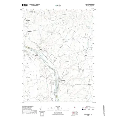
2019 Map of Frenchtown
USGS Topo · Published 2019About this map
The Delaware River serves as the primary corridor of this landscape, separating the river towns of Frenchtown and Milford in New Jersey from their Pennsylvania counterparts. The terrain is defined by the sharp descent of the Jersey side and the winding creeks of Bucks County, where historical infrastructure remains prominent. Notable landmarks include the Uhlerstown Covered Bridge and the Erwinna Covered Bridge, preserving the mid-19th-century character of the transportation network. Genealogists can trace family heritage through numerous burial sites, from the Milford Union Cem and Alexandria Cem to smaller family plots like the Erwin Family Cem and the Pursell Burying Ground. The map also captures several small aviation facilities, including Alexandria Airport and Herr Brothers Airport, situated among the plateau farms and small settlements like Baptistown and Little York.
Find a feature on this map
162 named features on this map. Tap any name to fly to it.
Don’t see what you’re looking for? This feature index may not catch every label — zoom into the map to look around manually.
Map Details
Editions of this 2019 Frenchtown Map
This is the sole edition of this map. No revisions or reprints were ever made.
Other maps of this area

1890 · Easton
USGS Topo · 1:62,500

1890 · High Bridge
USGS Topo · 1:62,500

1890 · Lambertville
USGS Topo · 1:62,500

1890 · Doylestown
USGS Topo · 1:62,500

1891 · Easton
USGS Topo · 1:62,500

1891 · Lambertville
USGS Topo · 1:62,500

1891 · Doylestown
USGS Topo · 1:62,500

1894 · Lambertville
USGS Topo · 1:62,500

1898 · High Bridge
USGS Topo · 1:62,500

1900 · Raritan
USGS Topo · 1:125,000