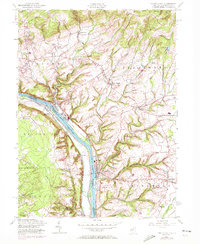
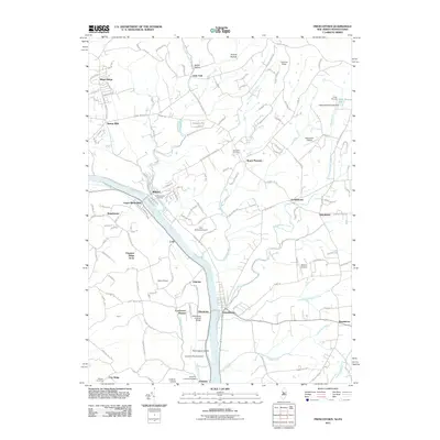
1955 Map of Frenchtown
USGS Topo · Published 1972About this map
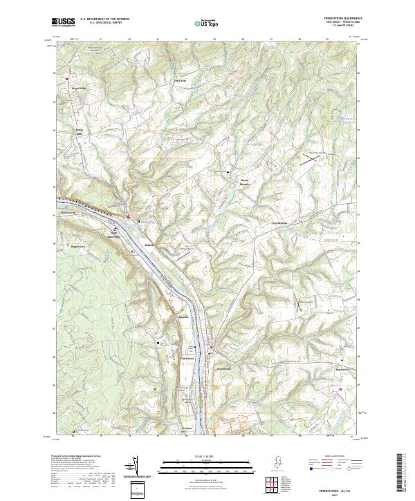
The Delaware River serves as the central artery and border between Hunterdon County, New Jersey, and Bucks County, Pennsylvania, in this mid-century portrait of a river-valley landscape. While the river defines the terrain, the Penn Central line follows the eastern shore, connecting riverfront hubs like Milford and Frenchtown. To the north, the steep rise of Musconetcong Mountain and Riegel Ridge marks a transition into more industrial and wooded upland, while the Pennsylvania side across from Uhlerstown remains characterized by smaller clusters such as Upper Black Eddy and Ruppletown. Local social foundations are well-preserved in the topography, from the Alexandria Cem and Upper Tinicum Union Ch to several small township schools and rural chapels. The map illustrates a period when the river-rail economy was still visible, centered on the historic bridges and creeks like Nishisakawick Creek and Hakihokake Creek that fed the Delaware.
Find a feature on this map
39 named features on this map. Tap any name to fly to it.
Don’t see what you’re looking for? This feature index may not catch every label — zoom into the map to look around manually.
Map Details
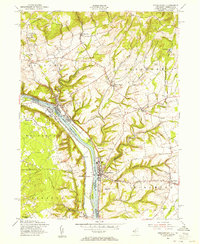
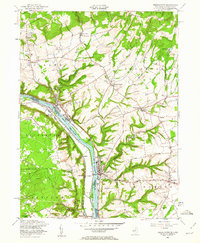
Editions of this 1955 Frenchtown Map
5 editions found
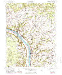
Historical Maps of Union Through Time
9 maps found
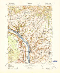
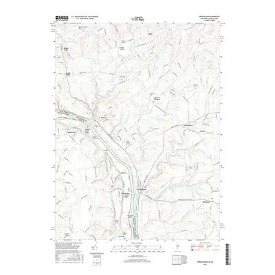
1943 Frenchtown
Hunterdon County, NJ
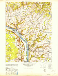
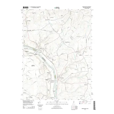
1953 Frenchtown
Hunterdon County, NJ
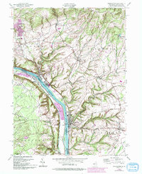
1955 Frenchtown
Hunterdon County, NJ
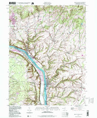
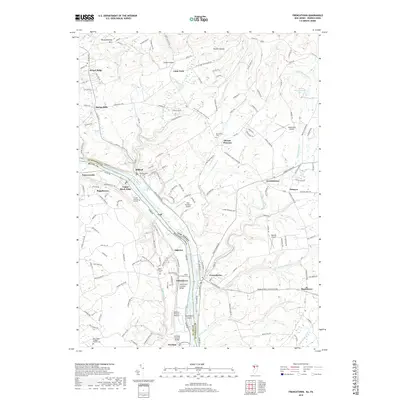
1997 Frenchtown
Hunterdon County, NJ
2011 Frenchtown
Hunterdon County, NJ
2014 Frenchtown
Hunterdon County, NJ
2016 Frenchtown
Hunterdon County, NJ
2019 Frenchtown
Hunterdon County, NJ
2023 Frenchtown
Hunterdon County, NJ