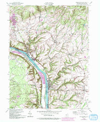
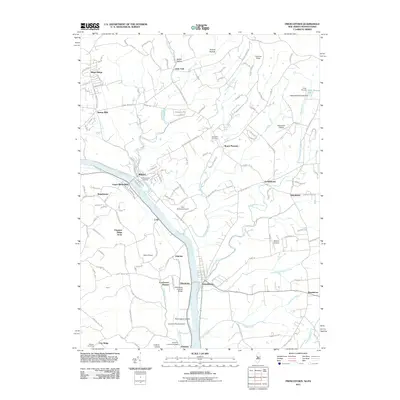
1955 Map of Frenchtown
USGS Topo · Published 1994About this map
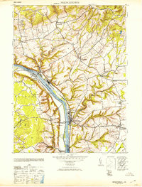
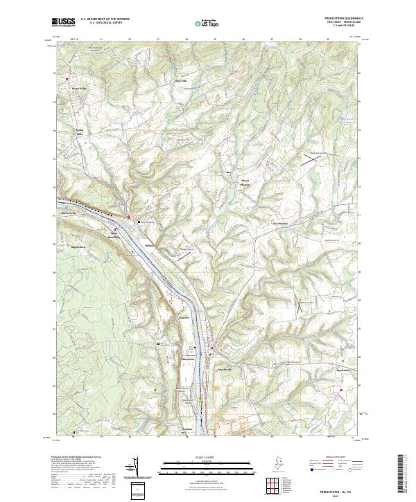
The Delaware River serves as the central artery for this mid-century portrait of the borderlands between New Jersey and Pennsylvania. This map captures the industrial and agricultural character of Hunterdon and Bucks Counties, where the river valley transitions into the steep slopes of Musconetcong Mountain. Small settlements like Milford and Frenchtown anchor the riverbanks, showing a landscape shaped by water power and rail access. The 1991 revisions, marked in purple, illustrate subtle changes in development, including a Landing Strip and a Sewage Disposal Pond near the riverfront. Away from the water, the plateau is dotted with country institutions like the Township Sch and the Upper Tinicum Union Ch, alongside several Cem sites that provide valuable data for genealogical research. The inclusion of State Game Lands No 56 highlights the preservation of wooded terrain amidst the established townships of Alexandria and Kingwood.
Find a feature on this map
42 named features on this map. Tap any name to fly to it.
Don’t see what you’re looking for? This feature index may not catch every label — zoom into the map to look around manually.
Map Details
Editions of this 1955 Frenchtown Map
5 editions found
Historical Maps of Union Through Time
9 maps found
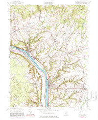
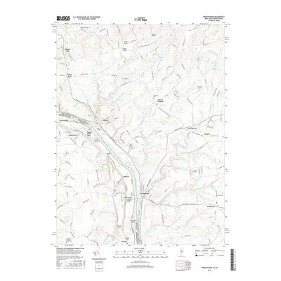
1943 Frenchtown
Hunterdon County, NJ
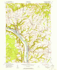
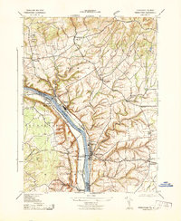
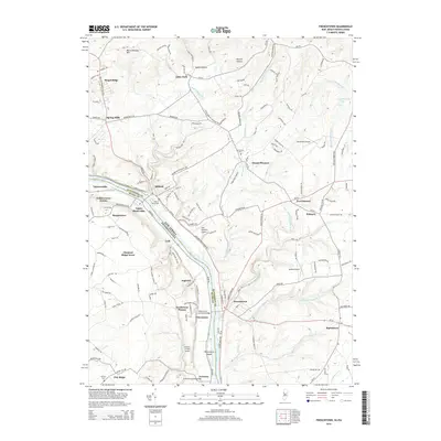
1953 Frenchtown
Hunterdon County, NJ
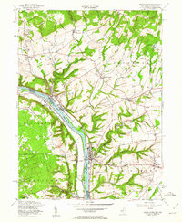
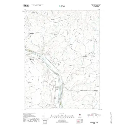
1955 Frenchtown
Hunterdon County, NJ
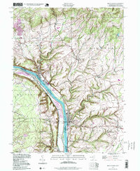
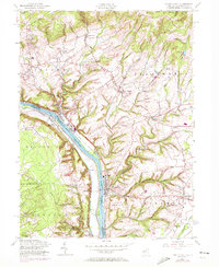
1997 Frenchtown
Hunterdon County, NJ
2011 Frenchtown
Hunterdon County, NJ
2014 Frenchtown
Hunterdon County, NJ
2016 Frenchtown
Hunterdon County, NJ
2019 Frenchtown
Hunterdon County, NJ
2023 Frenchtown
Hunterdon County, NJ