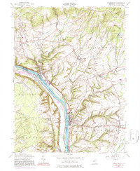
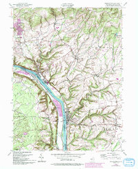
1955 Map of Frenchtown
USGS Topo · Published 1981About this map
The Delaware River forms a sharp boundary between Hunterdon County, New Jersey, and Bucks County, Pennsylvania, as it flows past the established riverfront boroughs of Frenchtown and Milford. This mid-century landscape is defined by its deep river-and-rail heritage, with the Penn Central line running tight against the eastern bank and smaller settlements like Upper Black Eddy and Uhlerstown dotting the opposite shore. Away from the water, the terrain rises sharply toward Musconetcong Mountain and Riegel Ridge in the north.
Find a feature on this map
41 named features on this map. Tap any name to fly to it.
Don’t see what you’re looking for? This feature index may not catch every label — zoom into the map to look around manually.
Map Details
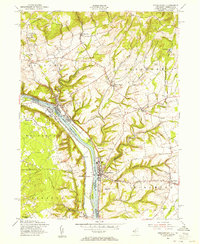
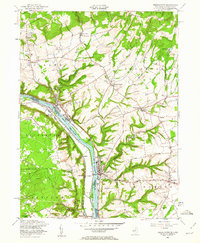
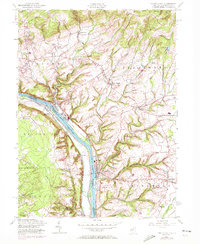
Editions of this 1955 Frenchtown Map
5 editions found
Other maps of this area

1890 · Easton
USGS Topo · 1:62,500

1890 · High Bridge
USGS Topo · 1:62,500

1890 · Lambertville
USGS Topo · 1:62,500

1890 · Doylestown
USGS Topo · 1:62,500

1891 · Easton
USGS Topo · 1:62,500

1891 · Lambertville
USGS Topo · 1:62,500

1891 · Doylestown
USGS Topo · 1:62,500

1894 · Lambertville
USGS Topo · 1:62,500

1898 · High Bridge
USGS Topo · 1:62,500

1900 · Raritan
USGS Topo · 1:125,000