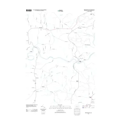
2013 Map of Frenchville
USGS Topo · Published 2013About this map
Frenchville and the Guenot Settlement anchor this landscape along the winding course of the W Br Susquehanna River. The terrain is deeply etched by a network of drainage systems, including Sandy Creek, Kettle Spring Run, and Alder Run, which define the ridges where small communities like Keewaydin and Sylvan Grove are situated. The layout of the roads, such as Caledonia Pike and Rolling Stone Rd, follows the contours of the high ground between these various runs and hollows.
Find a feature on this map
102 named features on this map. Tap any name to fly to it.
Don’t see what you’re looking for? This feature index may not catch every label — zoom into the map to look around manually.
Map Details
Editions of this 2013 Frenchville Map
This is the sole edition of this map. No revisions or reprints were ever made.
Other maps of this area

1903 · Houtzdale
USGS Topo · 1:62,500

1905 · Houtzdale
USGS Topo · 1:62,500

1922 · Philipsburg
USGS Topo · 1:62,500

1929 · Karthaus
USGS Topo · 1:62,500

1929 · Clearfield
USGS Topo · 1:48,000

1932 · Clearfield
USGS Topo · 1:62,500

1932 · Karthaus
USGS Topo · 1:62,500

1939 · Philipsburg
USGS Topo · 1:62,500

1945 · Philipsburg
USGS Topo · 1:62,500
1945 · Wallaceton
USGS Topo · 1:24,000
Featured Places
- Karthaus Township, PA
- Cooper Township, PA
- Frenchville, Covington Township
- Pleasant Hill, Cooper Township
- Coudley, Girard Township