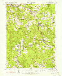
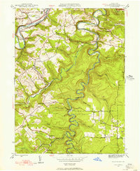
1945 Map of Wallaceton
USGS Topo · Published 1956About this map
The boroughs and rural townships of Clearfield County are defined by a complex intersection of geography and industry at the end of World War II. In Wallaceton, the junction of the Central and Pennsylvania railroads highlights the region's importance as a transportation corridor, while smaller communities like Blue Ball and West Decatur P O are linked by winding roads through the Spring Valley terrain.
Find a feature on this map
37 named features on this map. Tap any name to fly to it.
Don’t see what you’re looking for? This feature index may not catch every label — zoom into the map to look around manually.
Map Details
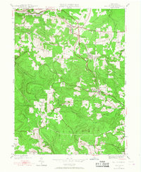
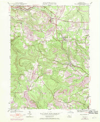
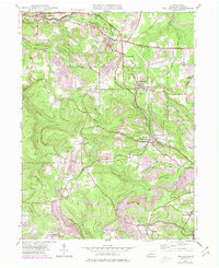
Editions of this 1945 Wallaceton Map
4 editions found
Other maps of this area

1903 · Houtzdale
USGS Topo · 1:62,500

1905 · Houtzdale
USGS Topo · 1:62,500

1922 · Philipsburg
USGS Topo · 1:62,500

1929 · Karthaus
USGS Topo · 1:62,500

1929 · Clearfield
USGS Topo · 1:48,000

1932 · Clearfield
USGS Topo · 1:62,500

1932 · Karthaus
USGS Topo · 1:62,500

1939 · Philipsburg
USGS Topo · 1:62,500

1944 · Houtzdale
USGS Topo · 1:24,000
1944 · Glen Richey
USGS Topo · 1:24,000
Featured Places
- Bigler, Bradford Township
- Wallaceton, PA
- Decatur Township, PA
- Spring Valley, Boggs Township
- Morris Township, PA