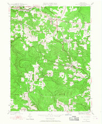
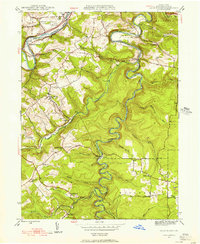
1945 Map of Wallaceton
USGS Topo · Published 1968About this map
Woodland and Bigler anchor the northern landscape of this mid-century Clearfield County survey, where the region’s coal and industrial heritage is written into the terrain. The network of winding runs, including Roaring Run and Moravian Run, cuts through the upland plateaus of Boggs and Decatur townships. Distinctive local landmarks like the Salem Ch and Eagle Eye Sch offer a glimpse into the community life of small mining and agricultural settlements. The central corridor is dominated by the borough of Wallaceton and the uniquely named Blue Ball West Decatur P O, where rail lines and local roads intersect to service the surrounding valleys. Genealogists and researchers can trace the placement of rural institutions such as the Ohio Sch and New Castle Sch, which served families in outlying areas like Spring Valley and Newtown.
Find a feature on this map
35 named features on this map. Tap any name to fly to it.
Don’t see what you’re looking for? This feature index may not catch every label — zoom into the map to look around manually.
Map Details
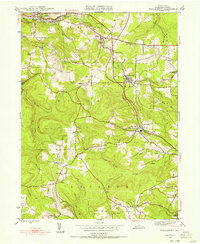
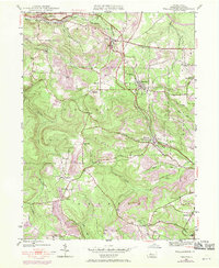
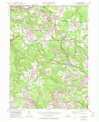
Editions of this 1945 Wallaceton Map
4 editions found
Other maps of this area

1903 · Houtzdale
USGS Topo · 1:62,500

1905 · Houtzdale
USGS Topo · 1:62,500

1922 · Philipsburg
USGS Topo · 1:62,500

1929 · Karthaus
USGS Topo · 1:62,500

1929 · Clearfield
USGS Topo · 1:48,000

1932 · Clearfield
USGS Topo · 1:62,500

1932 · Karthaus
USGS Topo · 1:62,500

1939 · Philipsburg
USGS Topo · 1:62,500

1944 · Houtzdale
USGS Topo · 1:24,000
1944 · Glen Richey
USGS Topo · 1:24,000
Featured Places
- Bigler, Bradford Township
- Wallaceton, PA
- Decatur Township, PA
- Spring Valley, Boggs Township
- Morris Township, PA