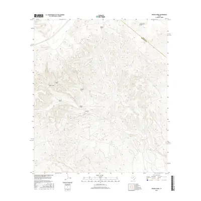
2016 Map of Fresno Creek
USGS Topo · Published 2016About this map
Fresno Creek and Maxon Cr carve through a landscape defined by deep draws and high ridges along the border of Pecos and Brewster Counties. This 2016 survey highlights a remote and sparsely populated area of West Texas where topographical landmarks often bear the names of early ranching families or local wildlife. Significant elevation changes are marked by features like Panther Mtn and Panther Gulch, while the network of canyons including McRae Canyon, Kincaid Canyon, and Mussey Canyon illustrates the complex drainage patterns feeding toward the larger Sanderson Canyon system. The geography here is characterized by these intermittent watercourses and draws like Oak Draw, which have historically dictated travel and land use in this arid region.
Find a feature on this map
11 named features on this map. Tap any name to fly to it.
Don’t see what you’re looking for? This feature index may not catch every label — zoom into the map to look around manually.
Map Details
Editions of this 2016 Fresno Creek Map
This is the sole edition of this map. No revisions or reprints were ever made.
Other maps of this area

1918 · Dove Mountain
USGS Topo · 1:62,500

1918 · Bullis Gap
USGS Topo · 1:62,500

1920 · Longfellow
USGS Topo · 1:125,000

1954 · Fort Stockton
USGS Topo · 1:250,000

1958 · Fort Stockton
USGS Topo · 1:250,000

1959 · Emory Peak
USGS Topo · 1:250,000

1965 · Emory Peak
USGS Topo · 1:250,000

1968 · Big Brindle Canyon
USGS Topo · 1:24,000

1968 · Fresno Creek
USGS Topo · 1:24,000

1968 · Longfellow
USGS Topo · 1:24,000