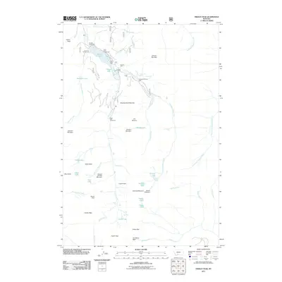
2011 Map of Fridley Peak
USGS Topo · Published 2011About this map
Hyalite Reservoir and its holding structure, Middle Creek Dam, serve as the central water feature in this high-elevation landscape. The terrain is defined by a dense network of drainages and dramatic vertical relief, featuring peaks such as Fridley Peak and Mount Chisholm. Local recreational infrastructure is well-documented, from the Chisholm Cabin to several established sites like Blackmore Campground and Hood Creek Campground.
Find a feature on this map
64 named features on this map. Tap any name to fly to it.
Don’t see what you’re looking for? This feature index may not catch every label — zoom into the map to look around manually.
Map Details
Editions of this 2011 Fridley Peak Map
This is the sole edition of this map. No revisions or reprints were ever made.
Other maps of this area

1888 · Three Forks
USGS Topo · 1:250,000

1891 · Livingston
USGS Topo · 1:250,000

1893 · Livingston
USGS Topo · 1:250,000

1894 · Three Forks
USGS Topo · 1:250,000

1895 · Three Forks
USGS Topo · 1:250,000

1947 · Bozeman
USGS Topo · 1:250,000

1948 · Bozeman
USGS Topo · 1:250,000

1951 · Bozeman Pass
USGS Topo · 1:62,500

1953 · Bozeman
USGS Topo · 1:62,500

1955 · Bozeman
USGS Topo · 1:250,000