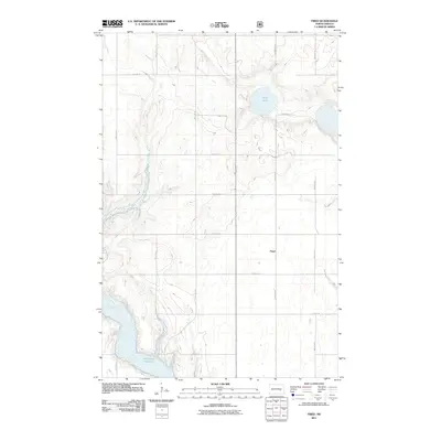
2011 Map of Fried
USGS Topo · Published 2011About this map
The small settlement of Fried anchors this portion of Stutsman County, appearing here amidst a landscape defined by North Dakota’s prairie potholes and glacial topography. To the south and west, the waters of the James River feed into the northern reach of the Jamestown Reservoir, a significant regional water feature that shapes the local drainage patterns. The map captures a transition from the elevated plains near Blue Lake to the river valley floor. This 2011 survey documents a sparse but regular road network, including 25th St SE and 87th Ave SE, which organize the agricultural sections surrounding the James River valley. The presence of numerous small, unnamed depressions and wetlands throughout the quadrangle highlights the complex hydrology typical of the Missouri Coteau region.
Find a feature on this map
17 named features on this map. Tap any name to fly to it.
Don’t see what you’re looking for? This feature index may not catch every label — zoom into the map to look around manually.
Map Details
Editions of this 2011 Fried Map
This is the sole edition of this map. No revisions or reprints were ever made.
Other maps of this area
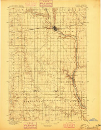
1896 · Jamestown
USGS Topo · 1:125,000
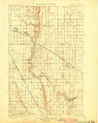
1900 · Pingree
USGS Topo · 1:125,000
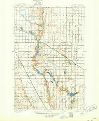
1900 · Pingree
USGS Topo · 1:62,500
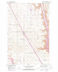
1950 · Buchanan
USGS Topo · 1:24,000
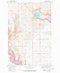
1950 · Fried
USGS Topo · 1:24,000
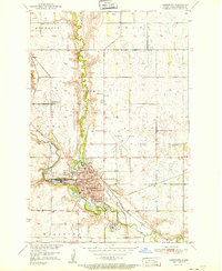
1951 · Jamestown
USGS Topo · 1:24,000
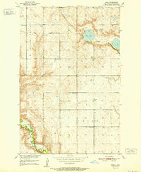
1951 · Fried
USGS Topo · 1:24,000
1951 · Spiritwood Lake
USGS Topo · 1:24,000
1951 · Courtenay
USGS Topo · 1:24,000
1952 · Buchanan
USGS Topo · 1:24,000