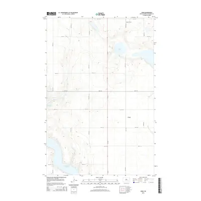
2014 Map of Fried
USGS Topo · Published 2014About this map
Fried occupies a central position on this Stutsman County landscape, situated amidst the distinctive prairie pothole terrain of eastern North Dakota. The area is defined by its seasonal and permanent water bodies, most notably the northern reaches of the Jamestown Reservoir and the isolated Blue Lake. The map reveals a highly structured section-line road network, including Hy 20 Se and numerous secondary routes like 24th St Se and 87th Ave Se, which facilitate movement between rural homesteads and regional hubs. Small-scale aviation is represented by Sprague Airport, located near the northern boundary, reflecting the vast distances and transportation needs of this agricultural region. This survey captures the steady-state character of the rural plains, where the interplay of water management and gridded land division remains the primary architectural force.
Find a feature on this map
18 named features on this map. Tap any name to fly to it.
Don’t see what you’re looking for? This feature index may not catch every label — zoom into the map to look around manually.
Map Details
Editions of this 2014 Fried Map
This is the sole edition of this map. No revisions or reprints were ever made.
Other maps of this area

1896 · Jamestown
USGS Topo · 1:125,000

1900 · Pingree
USGS Topo · 1:125,000

1900 · Pingree
USGS Topo · 1:62,500

1950 · Buchanan
USGS Topo · 1:24,000

1950 · Fried
USGS Topo · 1:24,000

1951 · Jamestown
USGS Topo · 1:24,000

1951 · Fried
USGS Topo · 1:24,000

1951 · Spiritwood Lake
USGS Topo · 1:24,000

1951 · Courtenay
USGS Topo · 1:24,000

1952 · Buchanan
USGS Topo · 1:24,000