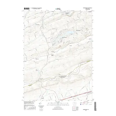
2016 Map of Friedensburg
USGS Topo · Published 2016About this map
Blue Mountain dominates the southern half of this landscape, its ridge serving as the high point for the Appalachian National Scenic Trail as it winds across the Schuylkill and Berks county line. The terrain transitions from these steep wooded slopes into the agricultural valleys and residential developments to the north, including the waterfront community around Lake Wynonah. Transportation and industry define the northern reaches, where the Reading Blue Mountain and Northern Railroad parallels the Schuylkill River. In the south, the village of Shartlesville sits along the foot of the mountain near the Feick Family Cemetery, reflecting the long-standing German heritage of the region. Local community landmarks like the Schuylkill Haven High School and several rural fire stations emphasize the established infrastructure connecting the boroughs of Schuylkill Haven and Cressona.
Find a feature on this map
113 named features on this map. Tap any name to fly to it.
Don’t see what you’re looking for? This feature index may not catch every label — zoom into the map to look around manually.
Map Details
Editions of this 2016 Friedensburg Map
This is the sole edition of this map. No revisions or reprints were ever made.
Other maps of this area

1889 · Pottsville
USGS Topo · 1:62,500

1891 · Pottsville
USGS Topo · 1:62,500

1891 · Lebanon
USGS Topo · 1:62,500

1892 · Pine Grove
USGS Topo · 1:62,500

1893 · Lebanon
USGS Topo · 1:62,500

1899 · Lebanon
USGS Topo · 1:62,500

1902 · Wernersville
USGS Topo · 1:62,500

1943 · Lebanon
USGS Topo · 1:62,500

1943 · Wernersville
USGS Topo · 1:62,500

1944 · Pottsville
USGS Topo · 1:24,000
Featured Places
- Bethel Township, PA
- Friedensburg, Wayne Township
- Upper Tulpehocken Township, PA
- North Manheim Township, PA
- Upper Bern Township, PA