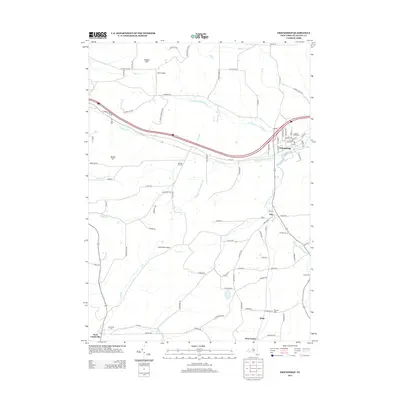
2013 Map of Friendship
USGS Topo · Published 2013About this map
Friendship serves as the primary population center of this Allegany County landscape, situated at the confluence where several branches of Van Campen Creek meet. The settlement pattern is defined by the valley floor, with North Br Van Campen Cr and West Br Van Campen Cr guiding the path of modern infrastructure and older secondary roads. Rural life is anchored by family-named landmarks and agriculture, evidenced by Rocking R Farm and Val Dale Farms, while local history is preserved in several burial grounds including Sacred Heart Cem and the Utopia Cem.
Find a feature on this map
96 named features on this map. Tap any name to fly to it.
Don’t see what you’re looking for? This feature index may not catch every label — zoom into the map to look around manually.
Map Details
Editions of this 2013 Friendship Map
This is the sole edition of this map. No revisions or reprints were ever made.
Other maps of this area

1898 · Olean
USGS Topo · 1:62,500

1906 · Angelica
USGS Topo · 1:62,500

1924 · Franklinville
USGS Topo · 1:62,500

1925 · Belmont
USGS Topo · 1:62,500

1938 · Olean
USGS Topo · 1:62,500

1939 · Belmont
USGS Topo · 1:62,500

1941 · Angelica
USGS Topo · 1:62,500

1942 · Franklinville
USGS Topo · 1:62,500

1943 · Olean
USGS Topo · 1:62,500

1960 · Buffalo
USGS Topo · 1:250,000