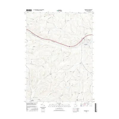
2016 Map of Friendship
USGS Topo · Published 2016About this map
Friendship serves as the primary hub in this corner of Allegany County, where the valley of Van Campen Creek meets several converging drainage systems. The landscape is defined by its dramatic relief, notably at Jackson Hill and the geographic pinch point of Clarksville Notch. Small settlements and rural districts like Nile, West Clarksville, and Wirt are connected by a network of winding roads that follow the natural contours of the land, such as Tannery Cr and Dodge Cr. For those tracing local heritage, the map identifies several burial grounds including Nile Cem, Wheeler Cem, and Sacred Heart Cem. The presence of the Dew Airpark near the northern border and the various branches of W Br Van Campen Cr highlight a region where historical agricultural patterns and modern transportation corridors coexist.
Find a feature on this map
89 named features on this map. Tap any name to fly to it.
Don’t see what you’re looking for? This feature index may not catch every label — zoom into the map to look around manually.
Map Details
Editions of this 2016 Friendship Map
This is the sole edition of this map. No revisions or reprints were ever made.
Other maps of this area

1898 · Olean
USGS Topo · 1:62,500

1906 · Angelica
USGS Topo · 1:62,500

1924 · Franklinville
USGS Topo · 1:62,500

1925 · Belmont
USGS Topo · 1:62,500

1938 · Olean
USGS Topo · 1:62,500

1939 · Belmont
USGS Topo · 1:62,500

1941 · Angelica
USGS Topo · 1:62,500

1942 · Franklinville
USGS Topo · 1:62,500

1943 · Olean
USGS Topo · 1:62,500

1960 · Buffalo
USGS Topo · 1:250,000