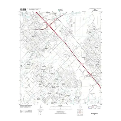
2013 Map of Friendswood
USGS Topo · Published 2013About this map
Friendswood Oil Field and numerous suburban developments define the landscape southeast of Houston during the early 21st century. The map illustrates a dense residential network stretching between Genoa and Webster, where established communities like Olcott and Humble Camp sit alongside newer subdivisions such as Sagemont Park and Baybrook Village. Transport and aviation infrastructure are central to the region's character, with the sprawling Ellington Field Airport in the northeast and Pearland Regional Airport to the west. This period shows a complex environment where industrial history meets rapid residential growth, tied together by the Gulf Fwy and Dixie Farm Rd corridors. Natural drainage via Turkey Creek and Clear Creek provides a persistent geographic framework amidst the expanding asphalt and rooftops of the coastal plain.
Find a feature on this map
97 named features on this map. Tap any name to fly to it.
Don’t see what you’re looking for? This feature index may not catch every label — zoom into the map to look around manually.
Map Details
Editions of this 2013 Friendswood Map
This is the sole edition of this map. No revisions or reprints were ever made.
Other maps of this area

1915 · Park Place
USGS Topo · 1:24,000

1915 · Deepwater
USGS Topo · 1:24,000

1916 · Genoa
USGS Topo · 1:24,000

1916 · Seabrook
USGS Topo · 1:24,000

1916 · La Porte
USGS Topo · 1:24,000

1919 · Deepwater
USGS Topo · 1:31,680

1920 · Seabrook
USGS Topo · 1:31,680

1920 · Genoa
USGS Topo · 1:31,680

1920 · Mykawa
USGS Topo · 1:31,680

1920 · La Porte
USGS Topo · 1:31,680