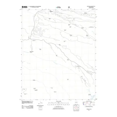
2011 Map of Frijoles
USGS Topo · Published 2011About this map
Bandelier National Monument defines the landscape of this New Mexico quadrangle, where the deep incisions of Cañon de los Frijoles reveal significant archaeological sites. The map records the location of the Tyuonyi Ruin and Rainbow House, providing spatial context for these ancient ancestral puebloan dwellings along the Rito de los Frijoles. Further south, the high plateaus of the San Miguel Mountains are home to the Pueblo of the Stone Lions and the Stone Lions Shrine, sites of deep cultural importance near Boundary Peak.
Find a feature on this map
34 named features on this map. Tap any name to fly to it.
Don’t see what you’re looking for? This feature index may not catch every label — zoom into the map to look around manually.
Map Details
Editions of this 2011 Frijoles Map
This is the sole edition of this map. No revisions or reprints were ever made.
Other maps of this area

1892 · Santa Clara
USGS Topo · 1:125,000

1952 · White Rock
USGS Topo · 1:24,000

1952 · Valle Toledo
USGS Topo · 1:24,000

1952 · Frijoles
USGS Topo · 1:24,000

1952 · Puye
USGS Topo · 1:24,000

1952 · Montoso Peak
USGS Topo · 1:24,000

1952 · Guaje Mountain
USGS Topo · 1:24,000

1953 · Cochiti Dam
USGS Topo · 1:24,000

1953 · Bland
USGS Topo · 1:24,000

1953 · Canada
USGS Topo · 1:24,000