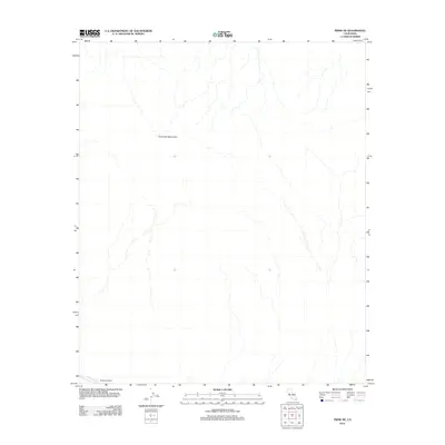
2012 Map of Frink NE
USGS Topo · Published 2012About this map
The Chocolate Mountains dominate the landscape of this arid desert region in Imperial County, where the topography is defined by the stark relief of mountain ranges and dry wash systems. In the southwestern corner of the quadrangle, the Coachella Canal introduces a human-engineered element to the environment, facilitating water transport through this sparse terrain. This infrastructure includes Siphon Sixteen, a specific engineering landmark along the canal's route. The map illustrates the isolated nature of this desert territory, highlighting how water management systems are essential to the geographic character of the area.
Find a feature on this map
3 named features on this map. Tap any name to fly to it.
Don’t see what you’re looking for? This feature index may not catch every label — zoom into the map to look around manually.
Map Details
Editions of this 2012 Frink NE Map
This is the sole edition of this map. No revisions or reprints were ever made.
Other maps of this area

1940 · Frink
USGS Topo · 1:62,500

1940 · Iris Pass
USGS Topo · 1:62,500

1940 · Canyon Spring
USGS Topo · 1:62,500

1943 · Canyon Spring
USGS Topo · 1:62,500

1944 · Chuckwalla Mountains
USGS Topo · 1:62,500

1944 · Frink
USGS Topo · 1:62,500

1945 · Iris Pass
USGS Topo · 1:62,500

1954 · Salton Sea
USGS Topo · 1:250,000

1955 · Salton Sea
USGS Topo · 1:250,000

1956 · Frink NW
USGS Topo · 1:24,000