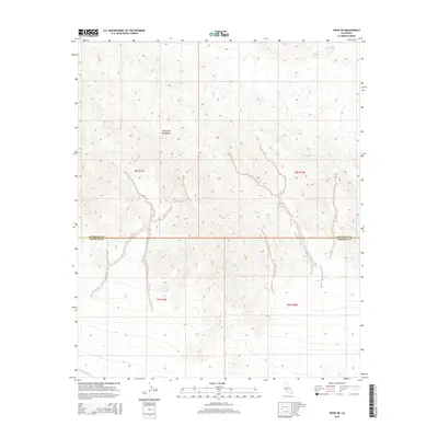
2015 Map of Frink NE
USGS Topo · Published 2015About this map
The Chocolate Mountains dominate this arid landscape, showing the complex topography of the high desert along the border of Riverside and Imperial counties. The terrain is defined by steep ridges and deep washes that drain toward the Salton Sink. At the southern edge of the survey, the Coachella Canal provides a stark linear contrast to the natural relief, marking the edge of the desert's agricultural potential. The map's detail reveals the intersection of these dry mountain ranges with the critical water infrastructure that transformed this region of California. The lack of settlements or roads on this sheet underscores the isolation of the range within the public land survey system, specifically throughout townships t8s r13e, t8s r14e, and t9s r13e.
Find a feature on this map
7 named features on this map. Tap any name to fly to it.
Don’t see what you’re looking for? This feature index may not catch every label — zoom into the map to look around manually.
Map Details
Editions of this 2015 Frink NE Map
This is the sole edition of this map. No revisions or reprints were ever made.
Other maps of this area

1940 · Frink
USGS Topo · 1:62,500

1940 · Iris Pass
USGS Topo · 1:62,500

1940 · Canyon Spring
USGS Topo · 1:62,500

1943 · Canyon Spring
USGS Topo · 1:62,500

1944 · Chuckwalla Mountains
USGS Topo · 1:62,500

1944 · Frink
USGS Topo · 1:62,500

1945 · Iris Pass
USGS Topo · 1:62,500

1954 · Salton Sea
USGS Topo · 1:250,000

1955 · Salton Sea
USGS Topo · 1:250,000

1956 · Frink NW
USGS Topo · 1:24,000