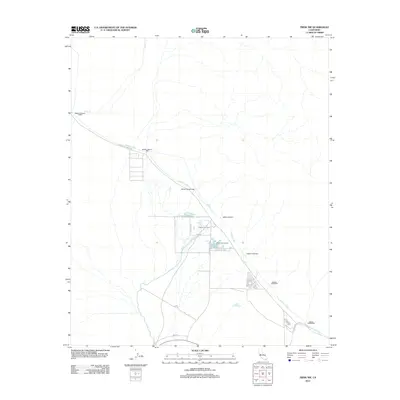
2012 Map of Frink NW
USGS Topo · Published 2012About this map
Hot Mineral Spa serves as a focal point in this arid Imperial County landscape, where specialized agriculture and geothermal features define the local activity. The presence of the Tropical Fish Farm and Pacific Aquafarms indicates a unique economic niche in the desert, likely utilizing the regional groundwater sources. This terrain is heavily influenced by water management infrastructure, most notably the Coachella Canal, which cuts across the quadrangle alongside Coachella Canal Rd. A series of infrastructure markers, from Siphon Twenty-Three down to Siphon Seventeen, track the controlled movement of water through this environment. Natural drainage is represented by the ephemeral Salt Cr, while a network of desert roads like Hot Springs Rd and Beal Rd connect these remote outposts.
Find a feature on this map
22 named features on this map. Tap any name to fly to it.
Don’t see what you’re looking for? This feature index may not catch every label — zoom into the map to look around manually.
Map Details
Editions of this 2012 Frink NW Map
This is the sole edition of this map. No revisions or reprints were ever made.
Other maps of this area

1940 · Frink
USGS Topo · 1:62,500

1940 · Cottonwood Spring
USGS Topo · 1:62,500

1940 · Canyon Spring
USGS Topo · 1:62,500

1940 · Durmid
USGS Topo · 1:62,500

1943 · Canyon Spring
USGS Topo · 1:62,500

1944 · Cottonwood Spring
USGS Topo · 1:62,500

1944 · Durmid
USGS Topo · 1:62,500

1944 · Frink
USGS Topo · 1:62,500

1954 · Salton Sea
USGS Topo · 1:250,000

1955 · Salton Sea
USGS Topo · 1:250,000