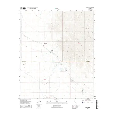
2015 Map of Frink NW
USGS Topo · Published 2015About this map
The arid expanse of the Imperial Valley meets the rising slopes of the Chocolate Mountains in this modern survey of the California desert. Central to the landscape is the Coachella Canal, a vital water artery that defines the boundary between the cultivated valley floor and the high desert terrain. The area is anchored by the settlement of Hot Mineral Spa, a unique desert community situated at the foot of the mountains.
Find a feature on this map
24 named features on this map. Tap any name to fly to it.
Don’t see what you’re looking for? This feature index may not catch every label — zoom into the map to look around manually.
Map Details
Editions of this 2015 Frink NW Map
This is the sole edition of this map. No revisions or reprints were ever made.
Other maps of this area

1940 · Frink
USGS Topo · 1:62,500

1940 · Cottonwood Spring
USGS Topo · 1:62,500

1940 · Canyon Spring
USGS Topo · 1:62,500

1940 · Durmid
USGS Topo · 1:62,500

1943 · Canyon Spring
USGS Topo · 1:62,500

1944 · Cottonwood Spring
USGS Topo · 1:62,500

1944 · Durmid
USGS Topo · 1:62,500

1944 · Frink
USGS Topo · 1:62,500

1954 · Salton Sea
USGS Topo · 1:250,000

1955 · Salton Sea
USGS Topo · 1:250,000